
SpaceAeye: Space-Based AI-Powered Energy Pipeline Monitoring
Powered by very high resolution satellite imagery and advanced AI

Powered by very high resolution satellite imagery and advanced AI
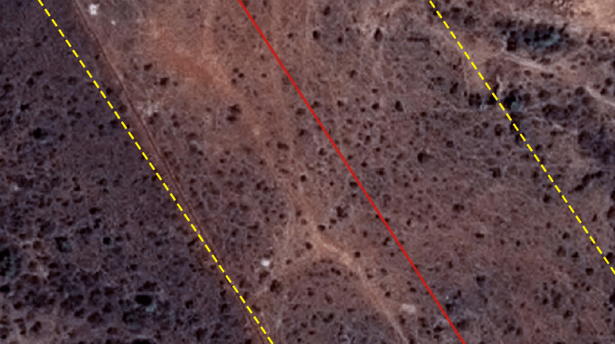
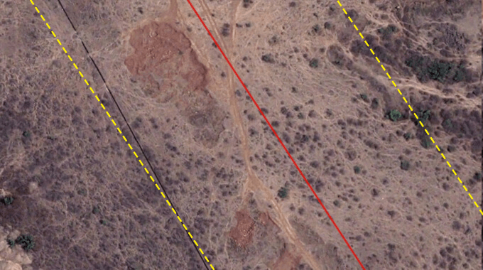
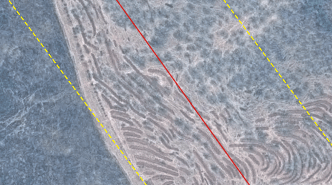
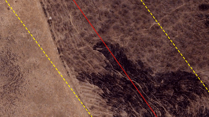
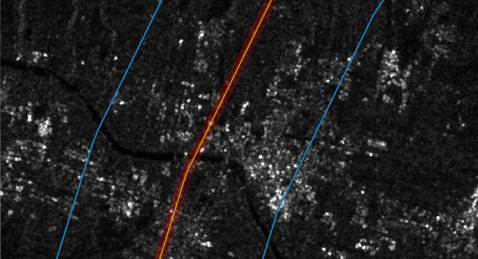
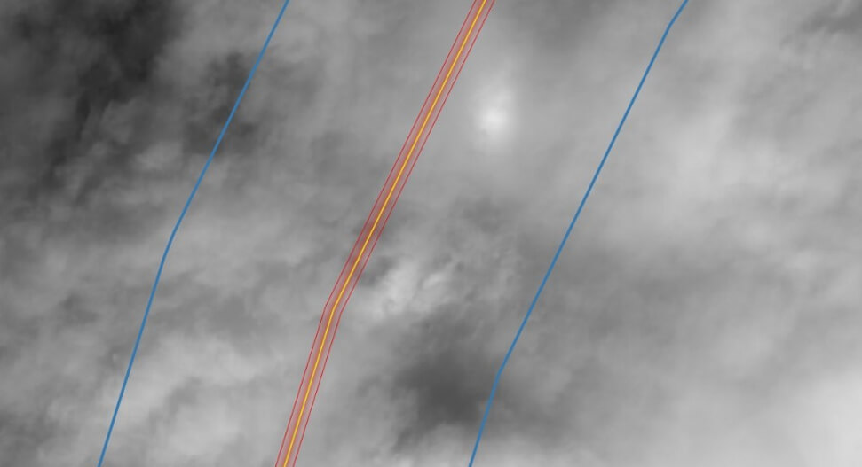
SpaceAeye is a very high resolution Geospatial & Spectral Intelligence System for automated, all-weather monitoring of pipeline RoU.
SpaceAeye - Monitor, Detect, Assess, Alert.
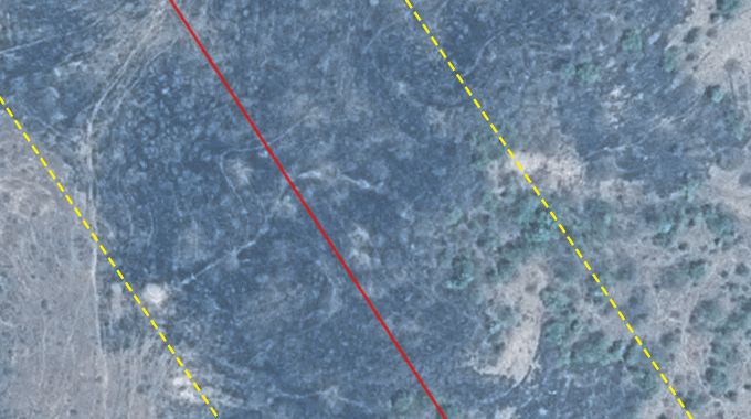
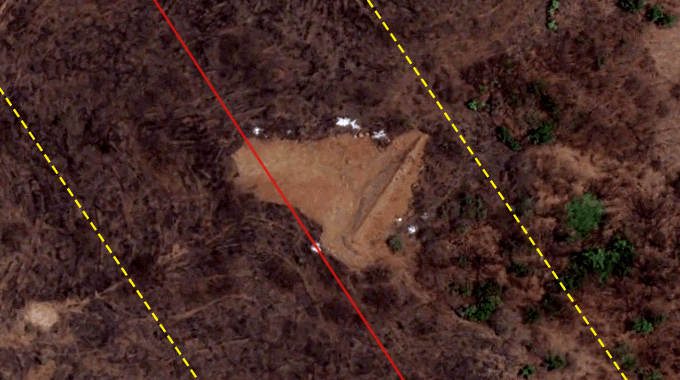
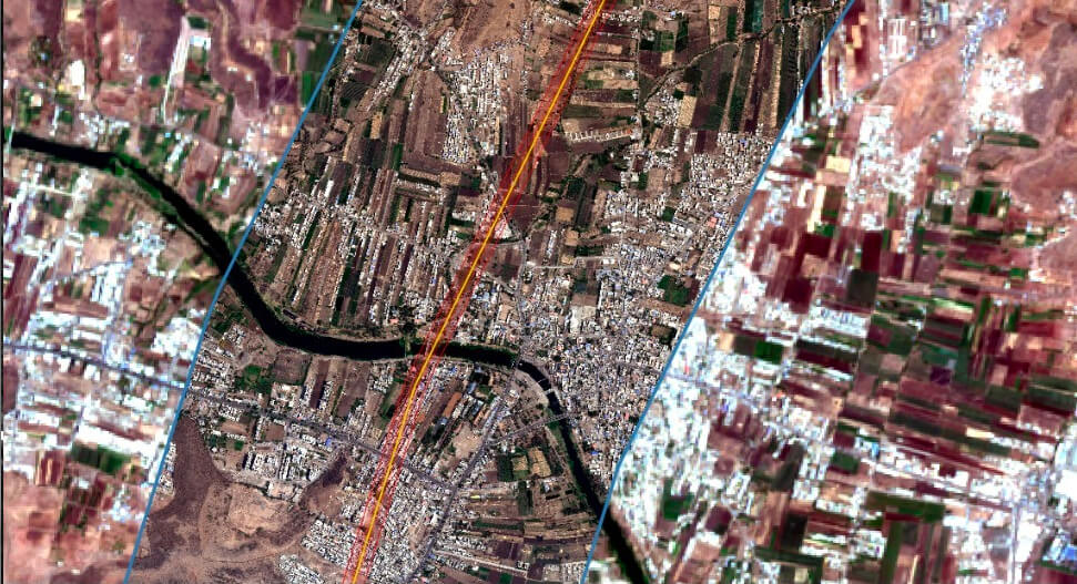
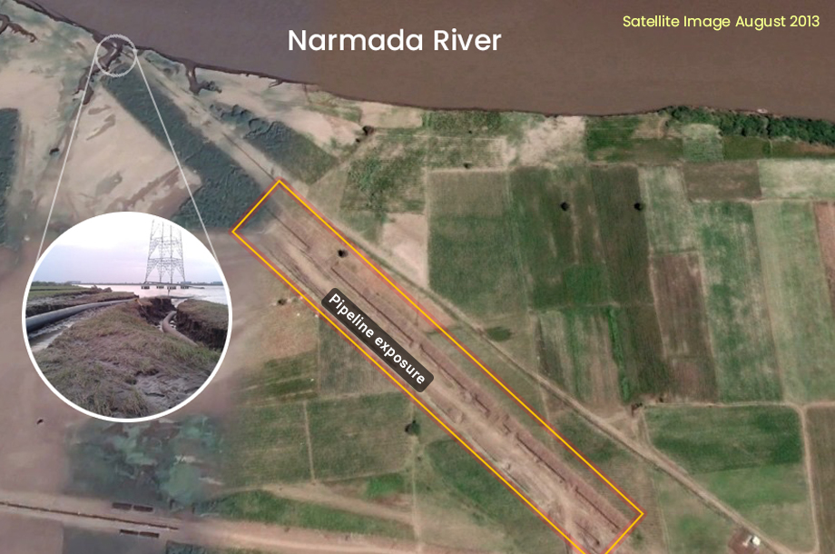
Pipeline crossing at railway/road/river bridges, etc exposure of pipeline
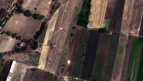
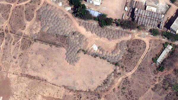
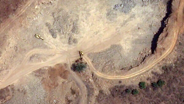
Exceptions such as house, road, well, soil removal, deep-rooted trees appearing on RoU.
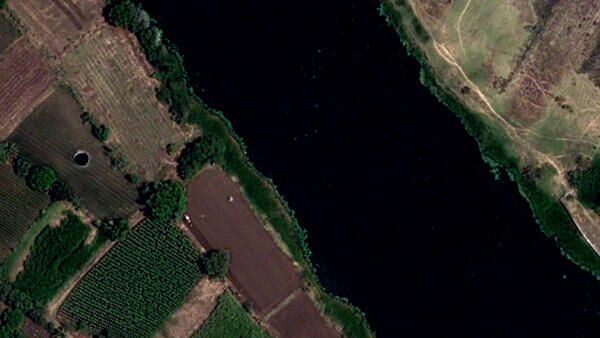
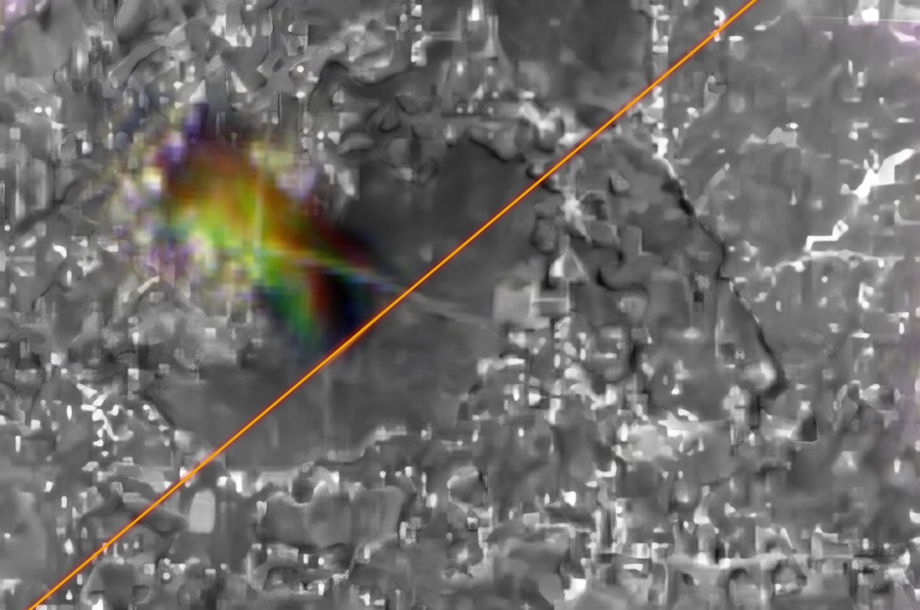
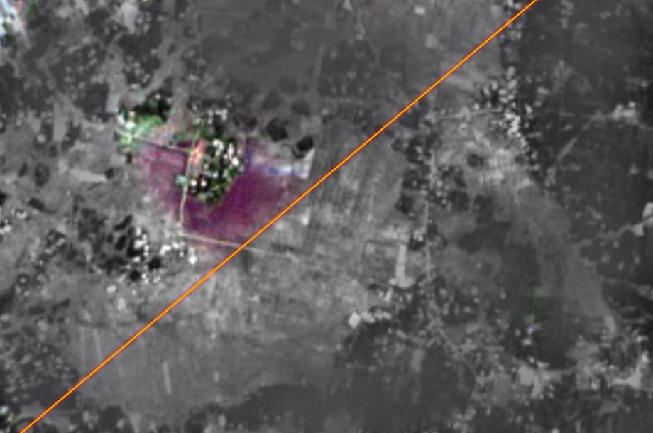
Soil erosion, flooding, etc.
Observing plumes, change in soil and vegetation color, multi-band imaging.
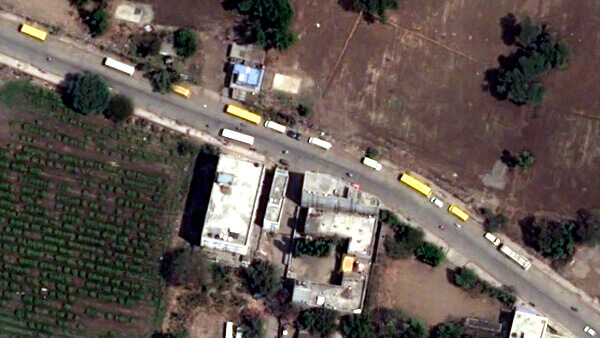
Surveillance beyond ROU to keep an eye on suspicious activities like pilferage
Detect deformations at centimeter level through periodic measurements in known seismic zones.
Your Hub for Comprehensive Pipeline Analytics

SpaceAeye has access to a constellation of 500+ satellites enabling image captures of any location at intervals shorter than a day.
Unleashing Cutting-Edge Innovations for Unmatched Pipeline Safety and Efficiency
AI/ML based inferencing on satellite data for automatic detection of changes in RoU and threat assessment. Dashboard for user-driven in-depth custom analytics.
Priority alerts through email and SMS to personnel concerned upon detection of immediate threats in RoU and periodic exception reports
Navigational guidance to the spot of exception for direct verification by ground personnel and uploading of photos and videos for real-time analysis and decision making
Flexible reporting schedules tailored to user requirements ranging from daily to quarterly cycles and rapid response ensuring report delivery within few hours after data availability.
